Current Temp. 52°
Discover
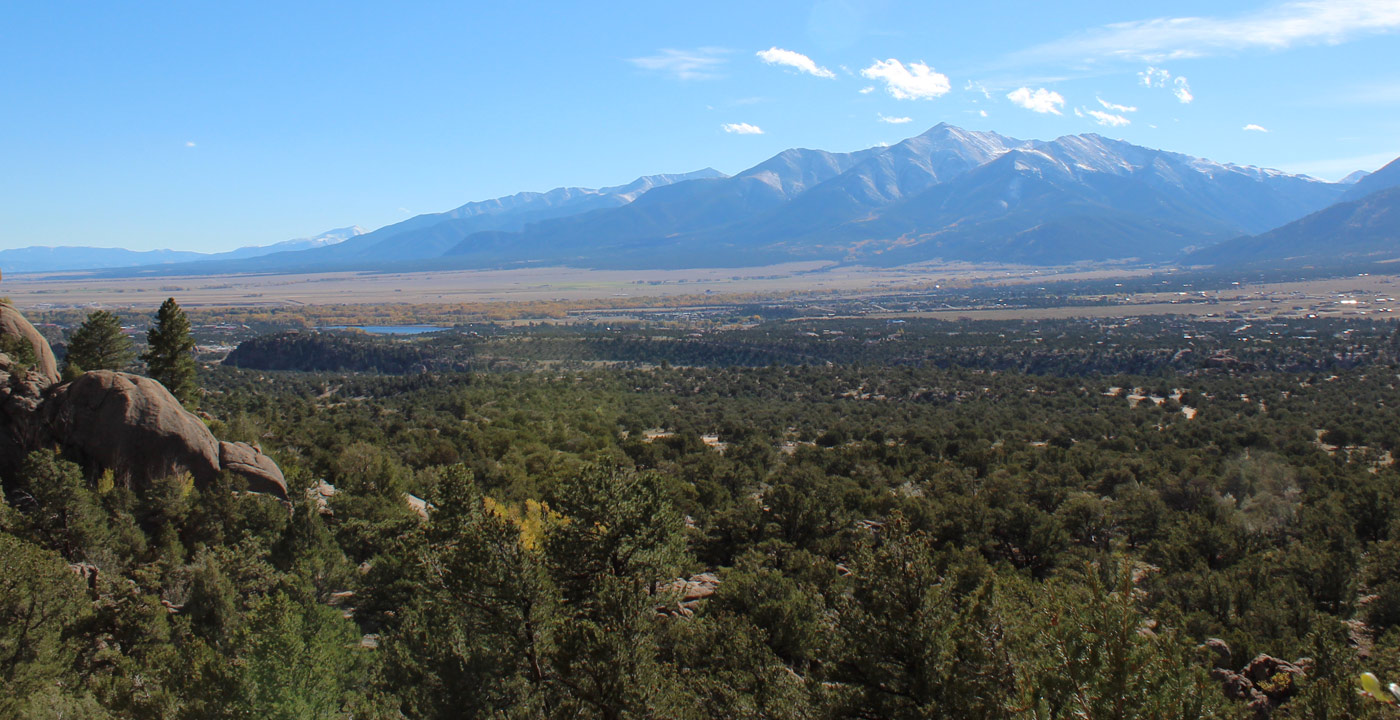
Mt. Oxford (14,153’) is located in northern Chaffee County and is accessible from Clear Creek Canyon. Named after Oxford University in England, it is the northern most peak that is part of the Collegiate Peaks.
This “fourteener” is commonly hiked as a combination with Mt. Belford, as it is located just 1.5 miles east of it. When standing on the summit of Mt. Belford, the connecting ridge and trail to Mt. Oxford is obvious and visible. Because it requires more hiking to Mt. Oxford, typically fewer hikers are on its summit – a nice getaway from the crowds.
If it’s clear, on the summit you’ll have grand views up the upper Arkansas River Valley and much of the Sawatch Range – Mt. Massive and Mt. Elbert to the north, the neighboring fourteener peaks near Clear Creek Canyon, and the many peaks south toward Buena Vista and Salida.
Directions: From Leadville, travel south on Highway 24 (as if traveling to Buena Vista). Turn right (west) on Chaffee County Road 390 at Clear Creek Reservoir and travel 7.5 miles to the trailhead parking lot on the left. This is a dirt road that sometimes has potholes and washboard areas, but it can be driven with an ordinary passenger vehicle.


Get Deals, Discounts, Information and more, in your inbox!
 Printable Version