Current Temp. 52°
Discover
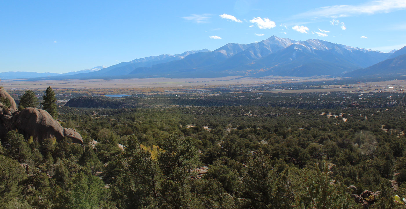
“La Plata” means “silver” in Spanish, and the mountain was named such from the many silver deposits in the area, which also includes the mining towns of Vicksburg and Winfield that launched during the settlement era. La Plata Peak’s handsome and striking north face, created by La Plata Basin and Ellingwood Ridge, can be seen from Highway 82 (west of Twin Lakes) and at the pedestrian overlook at Independence Pass.
This peak two common hiking routes.
The La Plata Peak Trailhead is located on Highway 82 (west of Twin Lakes) and this trail is regarded as the standard route to the summit. Directions: From Leadville, travel south on Highway 24 and turn west toward Twin Lakes. The trailhead is 14.5 miles from your turn; the marked trailhead and parking area is on the left.
Another hiking route is via the southwest ridge. Directions: Travel west into Clear Creek Canyon (located at the base of Clear Creek Reservoir on Highway 24). The road to Winfield is a dirt road with occasional pot holes and washboard areas, but can be accessed by an ordinary passenger vehicle. At Winfield, continue straight for approximately two miles on a much more rugged road that requires a 4-wheel-drive high clearance vehicle.
Not interested in a tough climb? The La Plata Peak trailhead at Highway 82 is also the start of South Fork Lake Creek Road, a 4WD dirt road that travels into various gulches at the base of the Continental Divide. This is a popular spot for mountain biking, cross-country skiing, snowmobiling, four-wheeling, camping or simply enjoying the mountain scenery. Buy a topographical map of the area and have at it!


Get Deals, Discounts, Information and more, in your inbox!
 Printable Version